
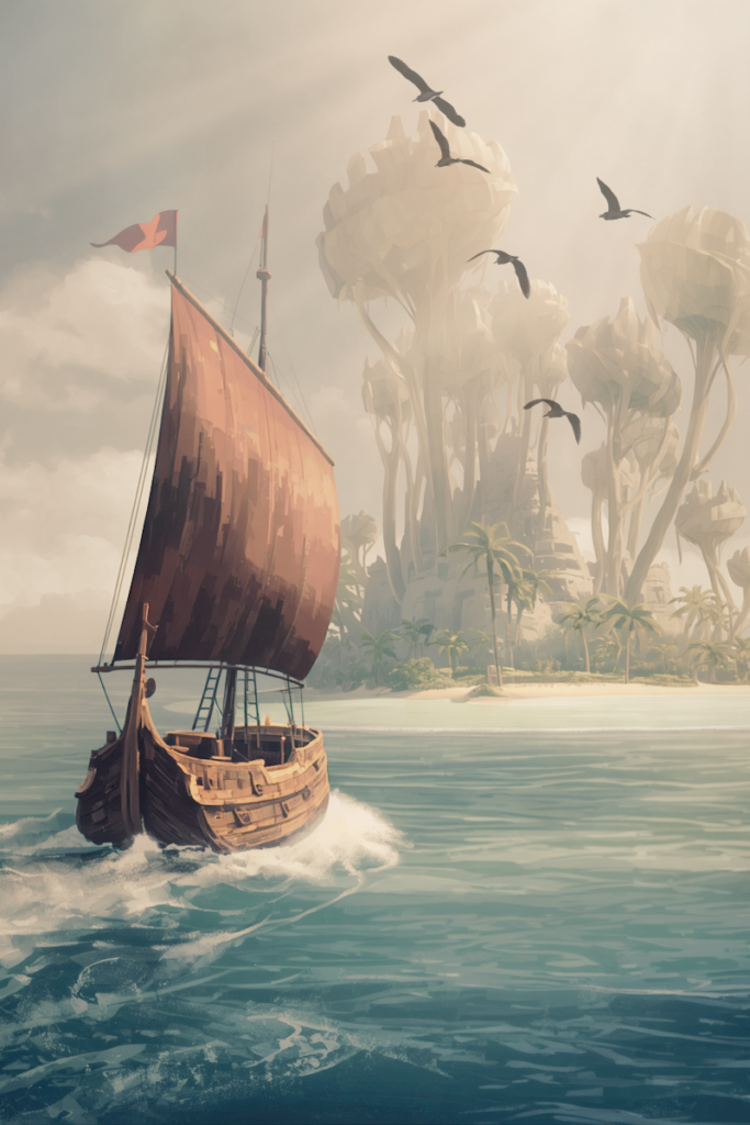
Few things ignite the romantic scholar’s imagination quite like the margins of antique cartography—those delicate, vellum charts bordered by hand-drawn sea monsters, compass roses, and faded Latin inscriptions. In the golden age of seafaring, the ocean was not merely a physical barrier of salt and swell, but an uncharted canvas where the boundaries between geographic reality and mythic longing effortlessly blurred. Perhaps no single enigma captures that melancholic, maritime mystery quite like Hy-Brasil, an island that haunted official European maps for more than five centuries despite never truly existing at all.
First appearing on an Italian navigational chart drawn by Angelino Dulcert in 1325, Hy-Brasil was rendered as a small, circular landmass sitting off the rugged western coast of Ireland, often split neatly in two by a tranquil river. For the modern observer, it is tempting to dismiss such anomalies as poetic embellishments or the fanciful inventions of bored monks. Yet the navigators, kings, and scholars of the Renaissance treated Hy-Brasil not as folklore, but as genuine, tangible geography.
During the late fifteenth century, wealthy merchants and the English crown financed expeditions setting out from the port of Bristol with explicit orders to discover and claim the island. Respected cartographers dutifully carried it forward across generations, meticulously plotting its coordinates alongside known coastlines. It continued to appear on respected navigational charts well into the nineteenth century, stubborn ink clinging to maritime parchment long after the rest of the world’s oceans had been sounded and measured.
According to ancient Celtic lore, the elusive isle was swallowed by a perpetual, impenetrable fog, cursed to conceal its shores from mortal sailors save for one fleeting day every seven years. Tales described it as a realm of ageless wisdom, an earthly sanctuary inhabited by cloaked enchanters, ancient guardians, and forgotten civilizations living far beyond the turbulence of the mainland. The mythical island has also been associated with Atlantis.
The mystery deepened in the autumn of 1674, when a Scottish sea captain named John Nisbet reported an uncanny encounter that quickly became the talk of Edinburgh and London taverns. According to his written account, his vessel became stranded in a dense sea mist off the Galway coast. When the curtain of damp grey air suddenly parted, the crew found themselves anchored in the calm waters of an unknown island. Nisbet claimed they went ashore and discovered weathered stone ruins standing silently against the Atlantic gales, abandoned monuments whispering of inhabitants who had vanished into time.
Naturally, contemporary science offers more grounded explanations for the centuries-old obsession. One leading hypothesis points to superior mirages—known to physicists as Fata Morgana—where severe atmospheric temperature inversions bend light across cold ocean water, projecting distorted, towering reflections of mainland cliffs or distant low-lying banks onto the empty horizon. To an exhausted, salt-blinded crew straining their eyes through Atlantic gloom, a shimmering optical illusion could easily present the sharp silhouettes of granite headlands and ancient towers.
Another fascinating theory suggests Hy-Brasil may be an astonishingly preserved piece of oral history. Thousands of years ago, before melting glaciers dramatically raised sea levels at the end of the last Ice Age, an underwater shoal known as the Porcupine Bank sat exposed as dry land far off the Irish coast. It is entirely possible that early human inhabitants witnessed this ancestral ground before the surging tides swallowed it whole, passing the memory of a distant western shore down through uncounted generations until medieval mariners set sail to reclaim it.
Whether Hy-Brasil was an atmospheric trick of the cold northern light, a primeval memory etched in Celtic myth, or merely the desperate projection of weary travelers searching for sanctuary on an unforgiving sea, cartographers refused to let it go. They included it in compass courses, stained its shores in sepia watercolor, and kept watch from salt-battered decks. It reminds us of a time when the world still had room for ghosts in the mist, when peering out past the edge of the known earth meant staring straight into the quiet, beautiful unknown.
Leave a Reply